Globes: Explore Historical Maps With the Apple Vision Pro
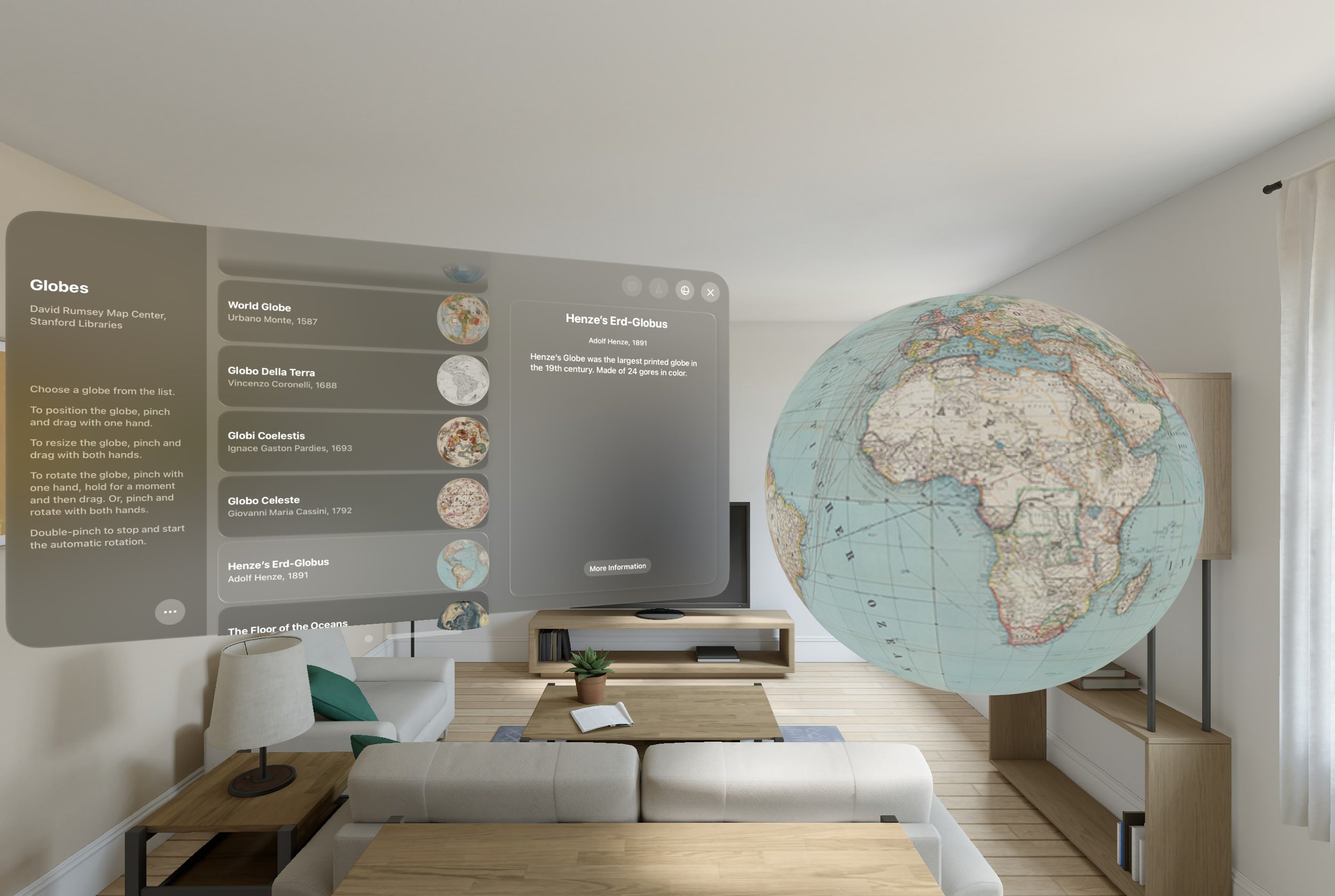
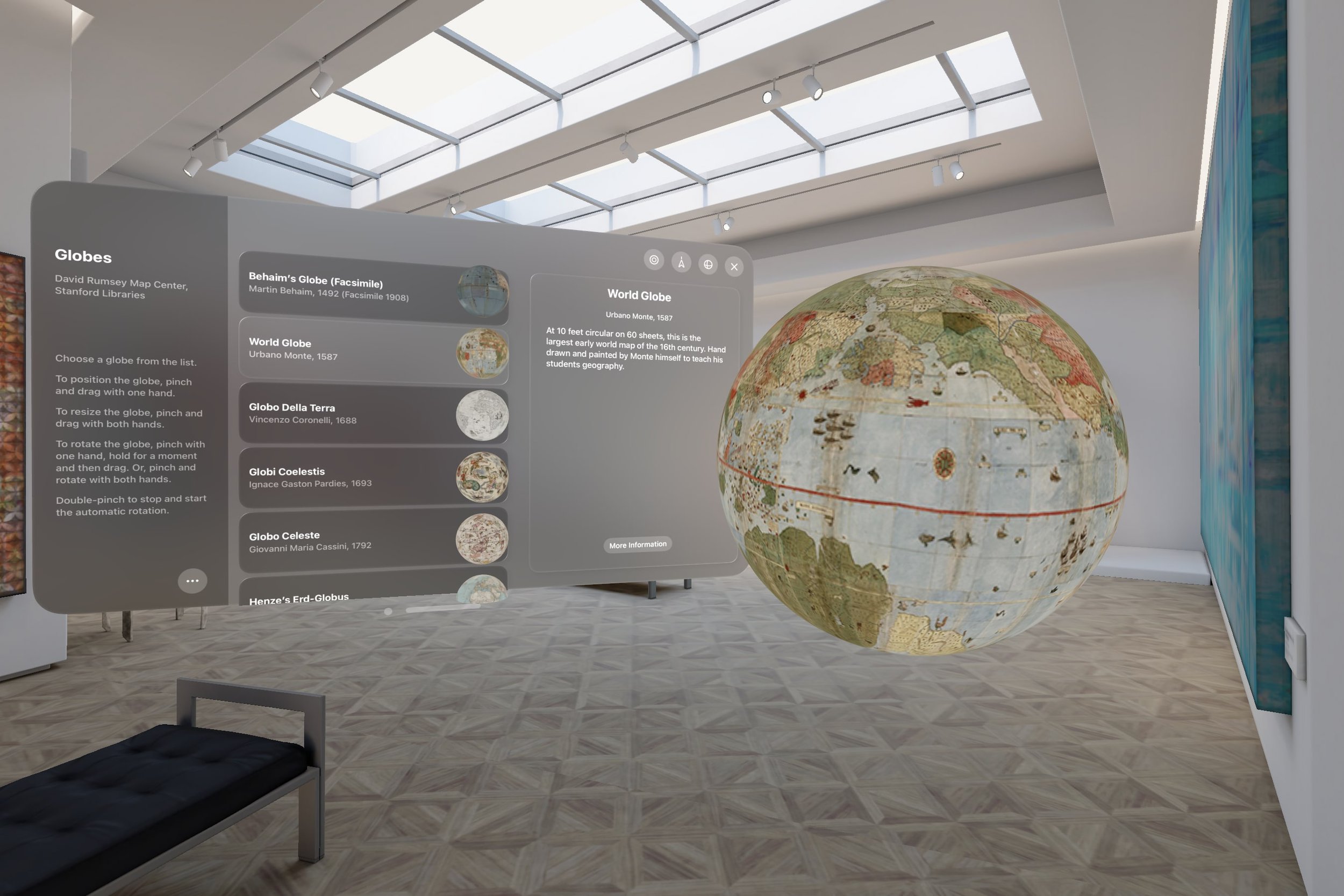
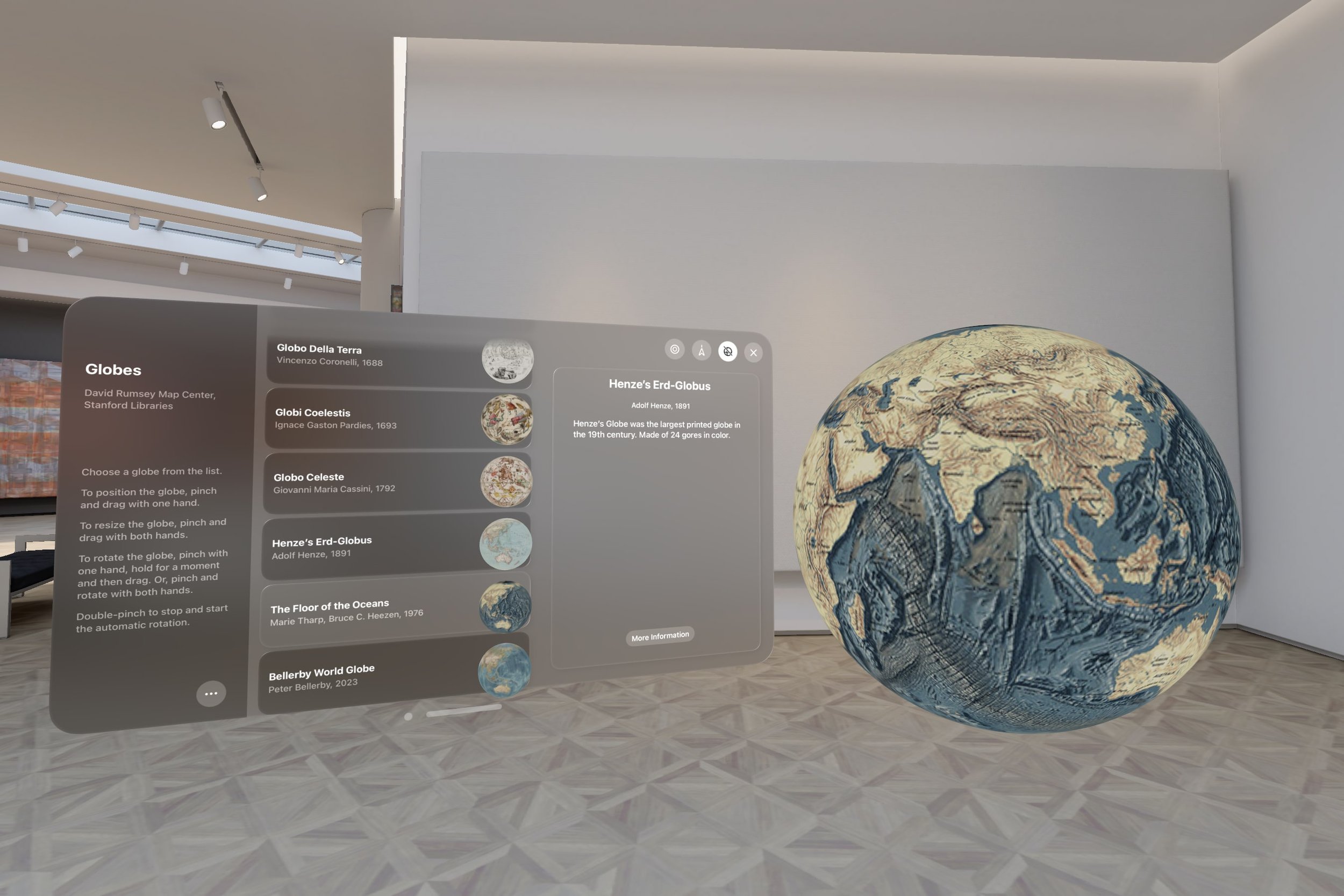
In collaboration between our team at Monash University and the David Rumsey Map Center at Stanford, we've launched the Globes app. This application allows users to explore detailed reproductions of historic maps, with the ability to scale (up to 5 meters), rotate, and freely position. The app aims to offer a novel way for users to engage with the David Rumsey map collection.
The goal of this project was to create an immersive tool for both enthusiasts and researchers. It builds on the prior work of Monash University’s Embodied Visualisation Group, which has been investigating the application of augmented reality and interactive technologies in map visualisation. Their work on developing tangible globes and facilitating gesture interactions for maps demonstrates the potential of these technologies to enhance accessibility to geographical data. The Apple Vision Pro has introduced new possibilities in this space due to its natural interaction paradigm, allowing for easier navigation in spatial interfaces, which marks a step beyond existing devices.
Auto-rotating Globes
Scale, rotate, and move the globes
The development process for the Vision Pro was mostly straightforward, largely owing to SwiftIUI and the comprehensive Apple development ecosystem. Nevertheless, we encountered several challenges due to API limitations. The inability to detect non-flat surfaces restricted us from projecting AR content onto real world globes—a feature that would have significantly enhanced the app's immersive experience. Apple doesn’t allow access direct camera feeds (for justified privacy reasons), but this eliminates any possibility of detecting and tracking objects for augmented reality. The API’s provided for image detection are severely lacking and limited. Furthermore, designing intuitive gestures for moving, rotating, and scaling also presented difficulties, and using custom gestures lead to discoverability issues.
Looking ahead, our plans include expanding the app's globe collection, experimenting with various styles of user interactions, and exploring the integration of augmented reality features. The aim is not only to enhance the app, but also to continue investigating how spatial interfaces can facilitate access and engagement with geographical materials. The development of the Globes app represents an initial step toward wider experimentation in map visualisation.